CryoSat’s first ice thickness map released at Paris air show
 European Space Agency has released the first map created with the help of data from its CryoSat spacecraft, at the Paris Air Show.
The map has been created with data collected in January and February this year and shows the ice is thickest near the North Pole and near the coasts of Greenland and northeastern Canada but it thinner towards Alaska and Russia.
Researchers aim to confirm studies that suggest that the extent of Arctic sea ice is shrinking. Many studies had warned that the sea ice extent will shrink significantly in the coming years mainly due to the effects of global warning.
Scientists have relied on models to outline the shrinking of ice over eh years but the crucial data from CryoSat will allow them to measure the thickness of the ice and determine the changes more accurately.
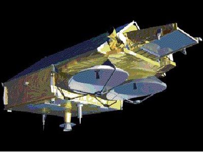
CryoSat measures the thickness of the ice and provides a 3-D view. The satellite will not only provide data for maps but will also regularly update them on the thickness of sea ice. NASA's IceSat had offered data on the thickness of sea ice but only a few times a year but the new satellite will offer continues updated data.
"The data are exceptionally detailed and considerably better than the mission specification. They even show lineations in the central Arctic that reflect the ice's response to wind stress," the space agency said in a press release.